Hiking Trail
Maunawili Demonstration Trail
Kailua• Windward Oahu
About This Place
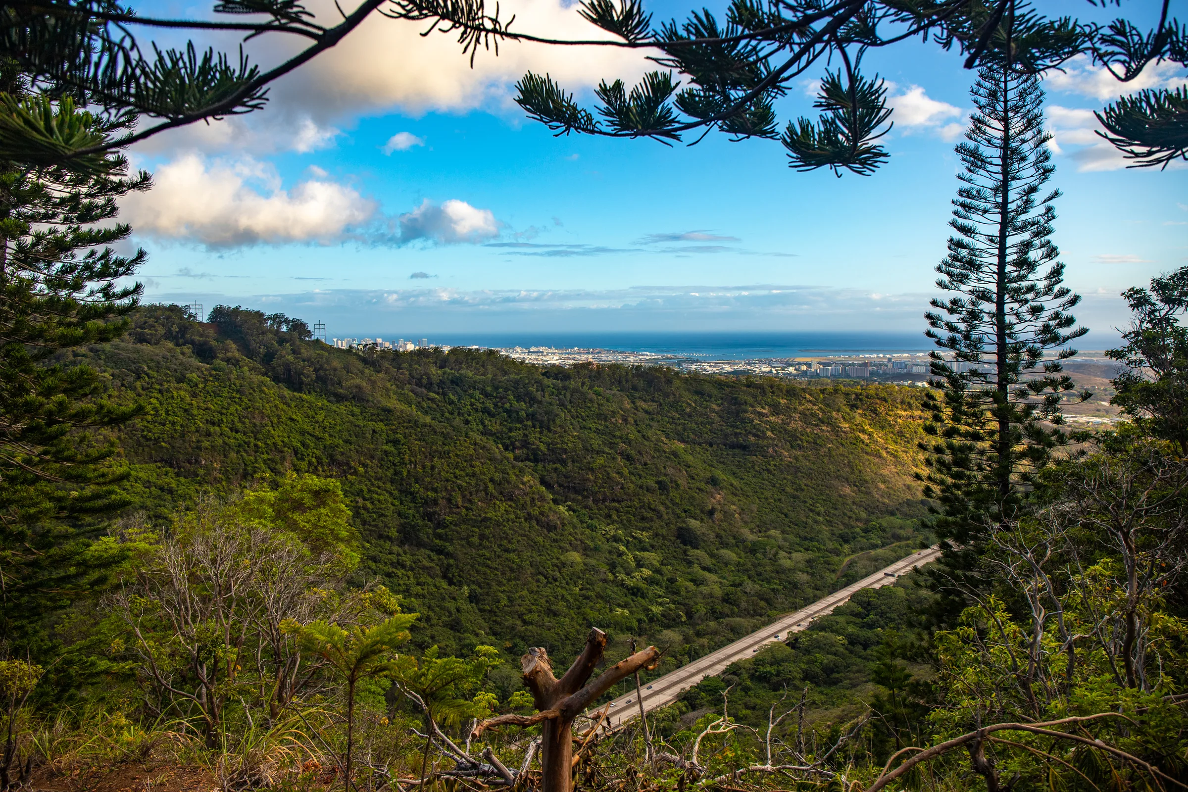
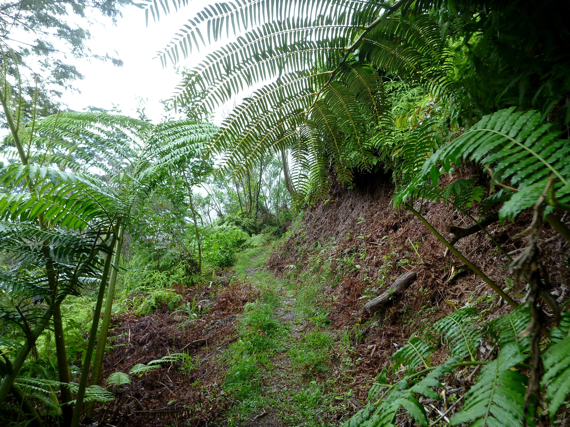
Nā Ala Hele calls the Maunawili Trail, also known as the Maunawili Demonstration Trail, the showpiece of the Oʻahu trail system. It contours the base of the Koʻolau Range on the windward side, from the Pali Highway to Waimānalo, with views of the windward side, Olomana, the Koʻolaupoko watershed and, inland, the Koʻolau cliffs. Along the way it passes cliffs with waterfall chutes and plants such as mountain apple, tī, naupaka, māmaki, koa and ʻōhiʻa. Volunteer crews led by the Sierra Club, Hawaiʻi Chapter built much of it, and Boy Scouts, Marines and inmates finished it.
Nā Ala Hele calls it a good family trail, with several access points. From Honolulu, the trailhead is next to the scenic overlook parking area just after the hairpin turn past the Pali Highway tunnels, where parking is time-limited. Another access starts in Waimānalo, from Kalanianaʻole Highway by way of Kumuhau and Waikupanaha Streets; the land past the ridge gap there is private. The trail is also the way to Maunawili Falls while the Maunawili Road trailhead is closed.
Hunting dogs may be off leash during a hunt, cliffs and dangerous footing are listed hazards, and dogs must be leashed. Near the Maunawili Falls junction, listen for the Japanese bush warbler. DLNR reopened all of Oʻahu's forestry and wildlife lands in late September, and it asks hikers to take care, since hazards it has not yet found or fixed may remain.
Visitor Information
⛰️
Difficulty
A good family trail (Nā Ala Hele)
ℹ️
Access
Trailhead at the scenic overlook just after the hairpin turn past the Pali Highway tunnels, with time-limited parking; another access from Waimānalo.
Highlights
- ✓ Views of Olomana and the Koʻolau cliffs
- ✓ Waterfall chutes along the cliffs
- ✓ Route to Maunawili Falls
Location
Loading map...