Hiking Trail
Pu'u Pia Trail
Honolulu
About This Place
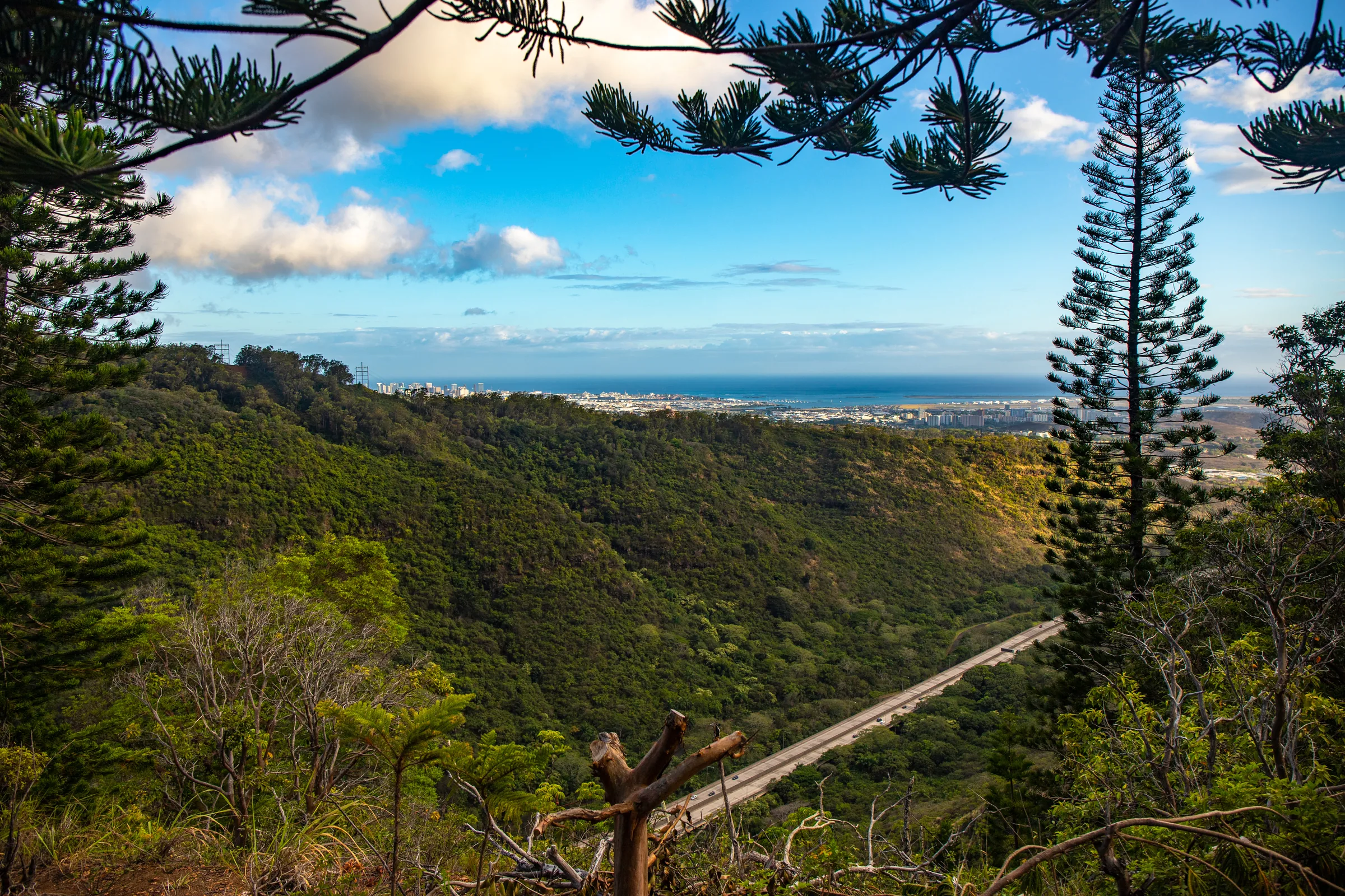
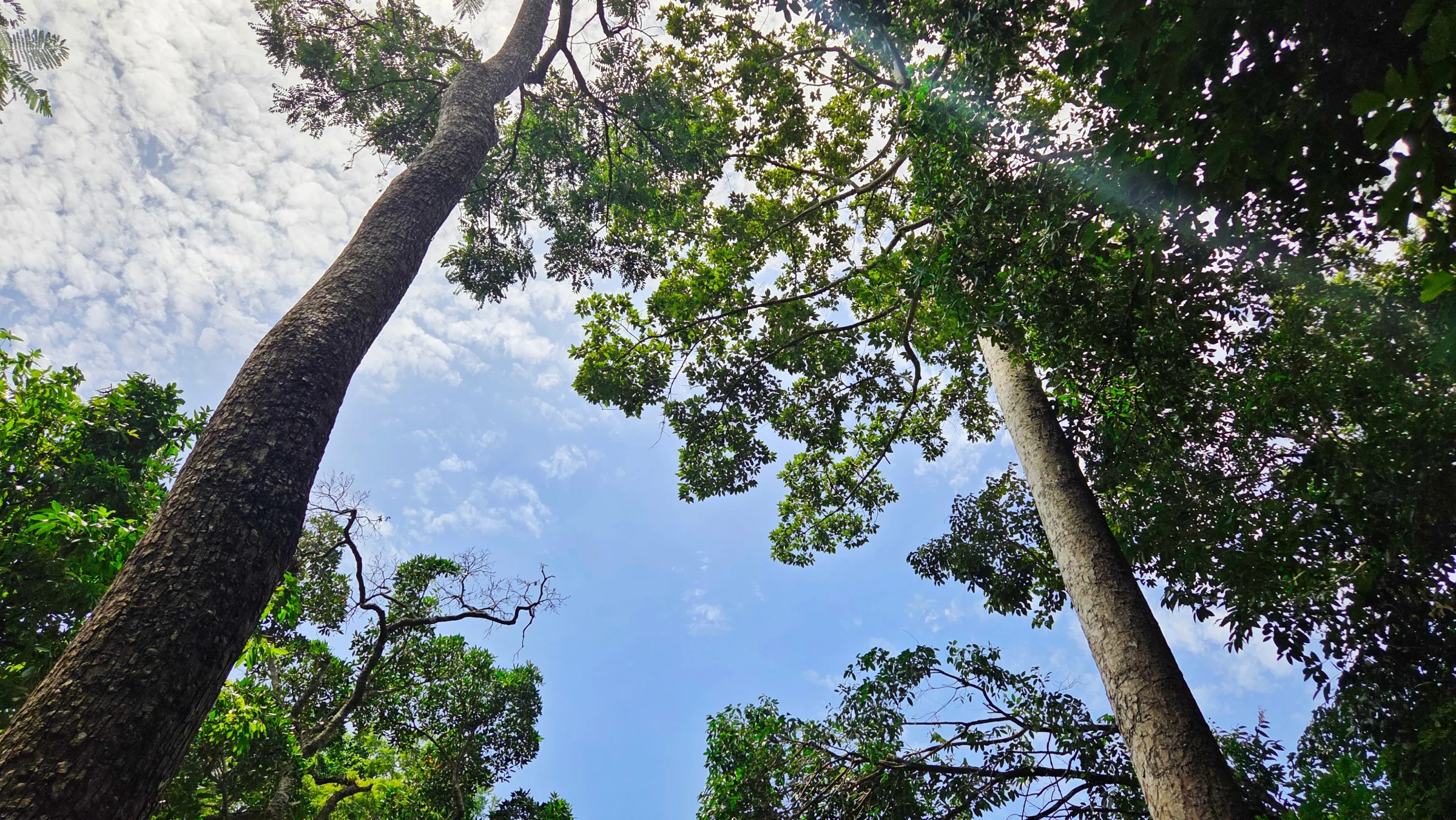
The Puʻu Pia Trail rises gradually through thick forest from the rear of Mānoa Valley to the top of a puʻu, a grassy clearing with a bench and views of Mānoa Valley, Mānoa Falls and Honolulu. Koa and naupaka kuahiwi grow along the last stretch. The name refers to pia, or arrowroot, an herb early Polynesian voyagers brought, though none grows along the trail.
Take East Mānoa Road past Mānoa Marketplace to Alani Drive, and park along Alani Drive outside Alani Lane; do not drive down the lane. Walk down Alani Lane, which looks like a driveway, past the houses and through the cable gate, then follow the dirt road to the Forestry and Wildlife picnic shelter; the trail starts to the left of it. At the signed junction with a covered picnic table, keep left; the path to the right is the Kolowalu Trail to Waʻahila Ridge.
Rocks can be slippery, dogs must be leashed, and bicycles and hunting are not allowed. DLNR reopened all of Oʻahu's forestry and wildlife lands in late September, and it asks hikers to take care, since hazards it has not yet found or fixed may remain.
Visitor Information
ℹ️
Access
Park on Alani Drive, not on Alani Lane; walk down the lane through the cable gate to the picnic shelter.
Highlights
- ✓ Grassy summit clearing with a bench
- ✓ Views of Mānoa Valley and Mānoa Falls
- ✓ Koa and naupaka near the top
Location
Loading map...